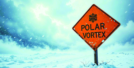
Headlines about the polar vortex can sound like a warning that a brutal winter is on the way. For Nebraskans, that may bring thoughts of bitter wind chills, frozen pipes and difficult travel.
But the strength of that weather pattern alone does not tell residents how cold or snowy the coming months will be. A stronger polar vortex does not necessarily mean a harsher winter, and a weaker one does not guarantee that Nebraska will be buried in snow.
According to the National Weather Service, the polar vortex is a circulation of cold air around Earth’s poles. Forecasters study it high in the atmosphere to help understand weather patterns that can affect conditions below.
The high-altitude circulation often discussed in winter outlooks is called the stratospheric polar vortex. It develops as the Arctic cools heading into winter, with strong winds circulating around the polar region.
When that circulation is strong and well-organized, it can help keep Arctic cold concentrated farther north. When it weakens or becomes disrupted, it can influence weather patterns in ways that allow cold air to reach farther south, according to NOAA’s explanations of the phenomenon.
That does not mean every disruption sends bitter cold into Nebraska. Other weather patterns help determine where the cold goes, how intense it becomes and how long it stays. Arctic outbreaks can also happen without a disruption of the high-altitude vortex.
The polar vortex is one piece of a much larger weather picture.
Another influence this winter is El Niño, a warming of waters in the tropical Pacific that can change weather patterns far beyond the ocean. Those changes can affect the paths storms take and the distribution of temperatures and precipitation.
In its Sept. 17 outlook, NOAA’s Climate Prediction Center reported that El Niño was strengthening, with more than a 90 percent chance of a very strong event during fall and winter 2026-27.
The center’s winter outlook favors above-normal average temperatures across broad areas of the northern and central United States east of the Rockies. That describes the expected tendency over the season, rather than the weather on any particular day.
An average can hide considerable variation. Several stretches of mild weather and a shorter period of bitter cold can still produce a season that finishes warmer than normal. Residents could experience a warmer winter overall and still need to prepare for dangerous cold.
Temperature outlooks also do not tell the whole story about snowfall. A forecast favoring warmer conditions is not a prediction that snowstorms will be absent. Likewise, a discussion of the polar vortex does not establish how much snow Clay County will receive.
Seasonal outlooks describe the likelihood of conditions over several months. They do not provide a schedule of snowstorms or identify when the county will experience its coldest weather. Those details become clearer through forecasts issued closer to an approaching weather event.
For residents, the practical approach is to follow local forecasts as winter develops. The National Weather Service recommends reviewing home and vehicle emergency supplies before the season and being prepared for periods of hazardous weather.
Whether the winter ends up warmer, colder or close to normal, individual cold spells and storms will still deserve attention. The seasonal outlook offers an early indication of what may be ahead, but local forecasts will guide the day-today decisions.